ProVision Spatial

UTILITY MAPPING

FIND IT. MAP IT. MAKE IT USEFUL.

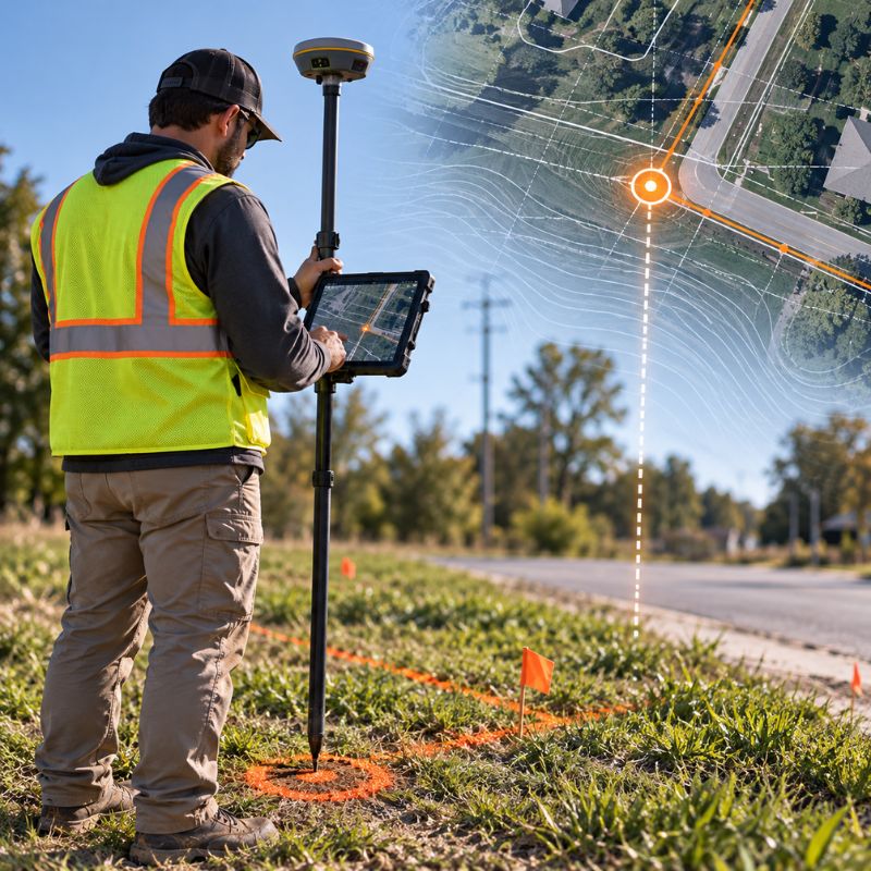
From a simple private utility locate to a fully mapped utility dataset, we combine multiple technologies to investigate, locate, position, and document underground infrastructure.
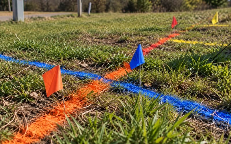
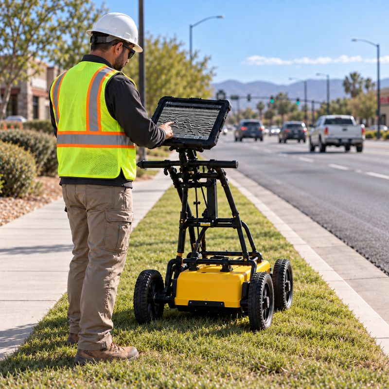
PRIVATE UTILITY LOCATING

Locate and mark privately owned utilities beyond the limits of 811.
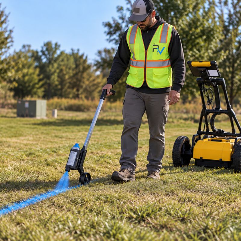
  • Field Markings
  • Project-Specific Investigation
  • Construction & Excavation Support

UTILITY MAPPING

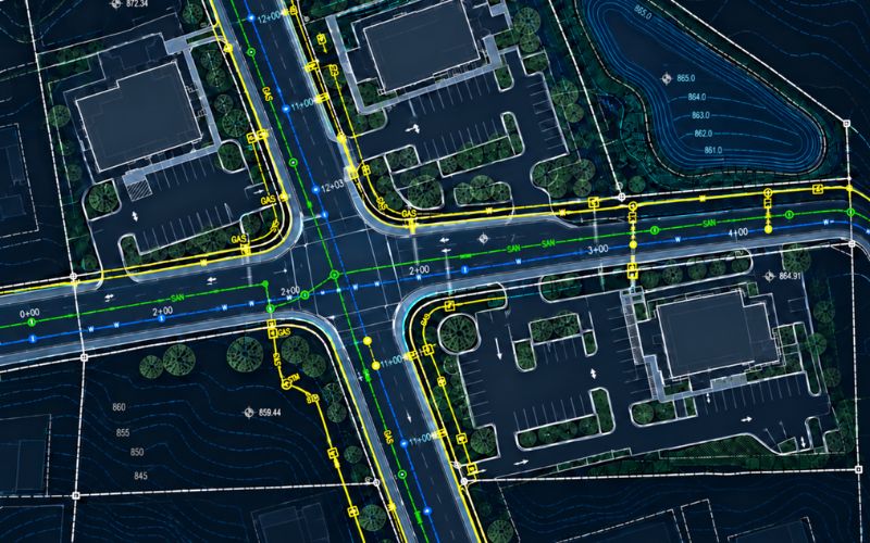
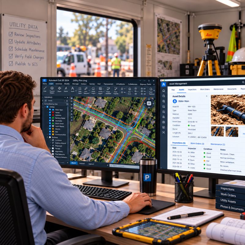
Take locating further by capturing utility findings spatially and integrating them into project-ready mapping.
  • GNSS Positioning
  • CAD Deliverables
  • GIS Datasets
  • Utility Exhibits
  • Interactive Mapping

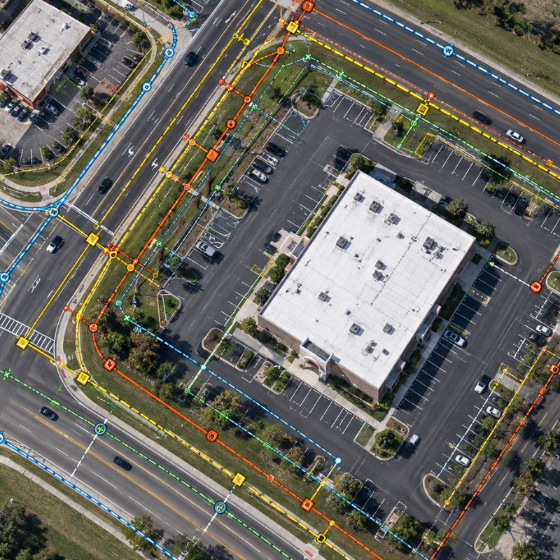
UTILITY MAP

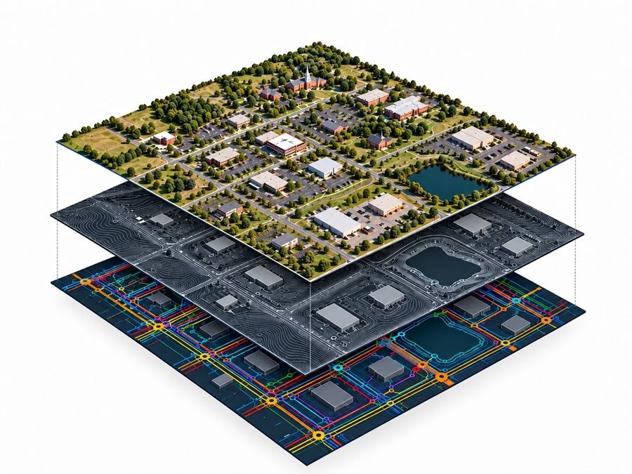
Bring multiple sources of information together into one spatially referenced picture of underground infrastructure.

LOCATE → MARK → POSITION → MAP → MANAGE

YOUR UTILITY DATA DOESN’T HAVE TO END WITH THE PAINT.

LOCATE

MARK

POSITION

MAP

MANAGE

Contact Us

Show Us Your Project

Click or drag a file to this area to upload.
Enter an address, locate the property, then draw the work area.