ProVision Spatial

LiDAR SCANNING

CAPTURE WHAT'S THERE. IN THREE DIMENSIONS.

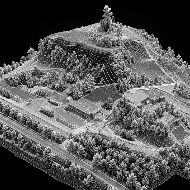
High-density reality capture for existing conditions, topography, structures, and project documentation.

REAL-WORLD DATA FOR REAL-WORLD PROJECTS.

What We Capture

Site conditions

Capture terrain, improvements, vegetation, and existing site features.

Buildings & Structures

Document exterior existing conditions in three dimensions.

Topography

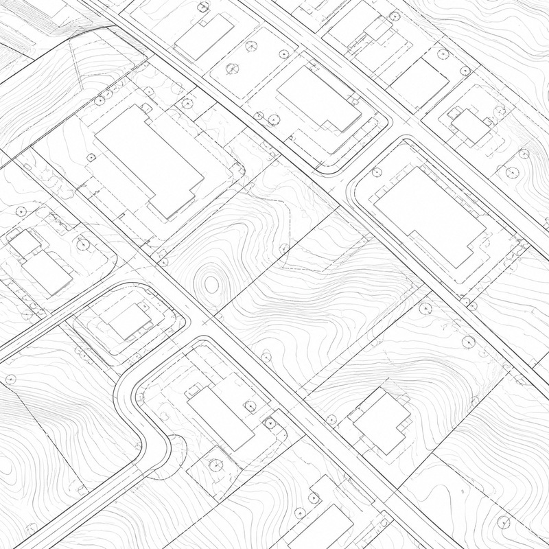
Capture high-density elevation data for site documentation and surface development.

Corridors & Infrastructure

Capture roadways, rights-of-way, facilities, and complex existing conditions.

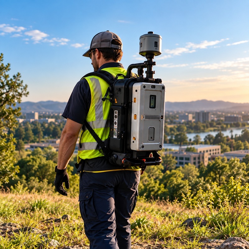
Field Scan

Capture the existing environment.

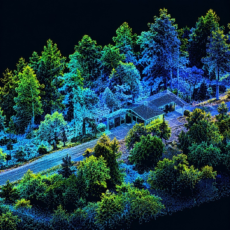
Point Cloud

Create a high-density 3D representation of the site.

Model

Transform captured data into useful spatial information.

Deliver

Provide data in formats that fit the project’s workflow.
From Reality to Data

Scan → Point Cloud → Model → Deliver

Deliverables

FLEXIBLE FORMATS FOR YOUR WORKFLOW

Point Clouds

Contours & Surfaces

CAD Base Mapping

3D Models

GIS Data

Contact Us

Show Us Your Project

Click or drag a file to this area to upload.
Enter an address, locate the property, then draw the work area.