ProVision Spatial

GROUND PENETRATING RADAR

SEE WHAT'S
BELOW.

Investigate subsurface features before you break ground.

SUBSURFACE INSIGHT FOR BETTER DECISIONS.

What We Investigate

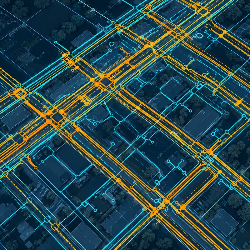
UTILITY INVESTIGATION

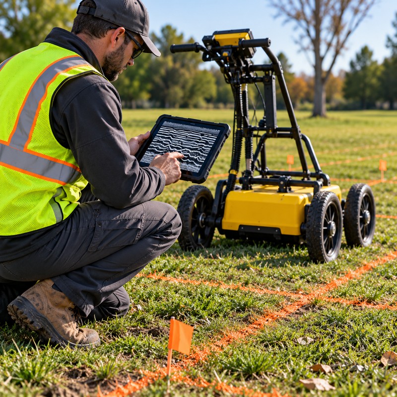
Use GPR to investigate suspected utilities and underground infrastructure.

BURIED STRUCTURES

Investigate foundations, tanks, abandoned infrastructure, and other unknown features.

LEAK INVESTIGATION

Investigate suspected leaks in water lines, tanks, and other underground infrastructure.

VOIDS & ANOMALIES

Investigate changes and anomalies in subsurface conditions.

01 - INVESTIGATE

Scan a specific area, feature, or concern.

02 - MARK

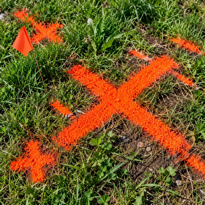
Identify and mark relevant findings directly in the field.

03 - MAP

Position findings with GNSS and document their locations.

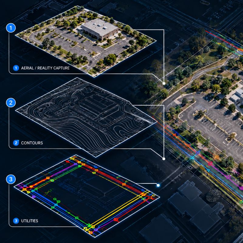
04 - INTEGRATE

Develop CAD, GIS, exhibits, or other project-ready spatial deliverables.

ONE TOOL. THE RIGHT LEVEL OF DELIVERABLE.

FROM A SIMPLE FIELD MARK TO A COMPLETE SUBSURFACE DATASET.

Not every project needs the same level of documentation. We canprovide a focused investigation with findings marked directly in the field—or carry those findings through positioning, mapping, and project-ready deliverables.
NEED A SIMPLE INVESTIGATION? WE DO THAT. NEED THE FULL DATASET? WE DO THAT TOO.

FROM FIELD SCAN TO FINDING.

How GPR Works

01 - FIELD SCAN

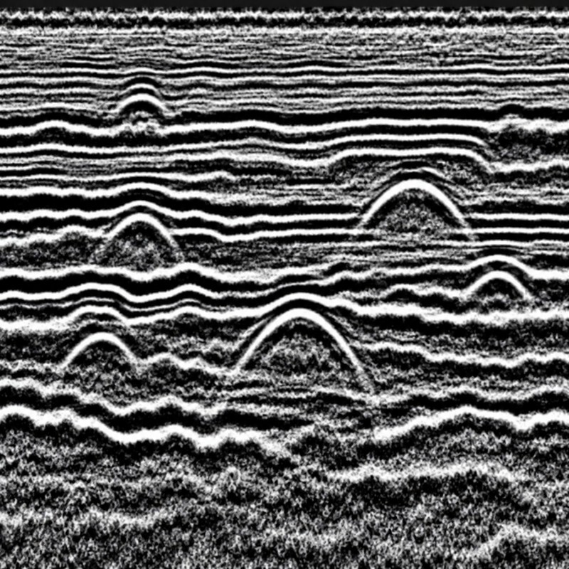
02 - RADAR DATA

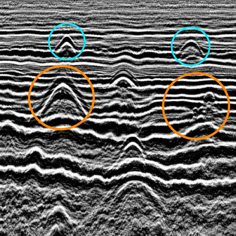
03 - INTERPRETATION

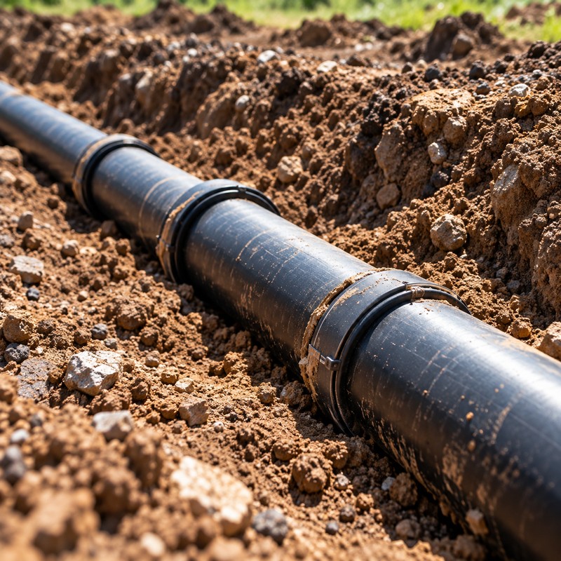
04 - FINDING

Our Technology

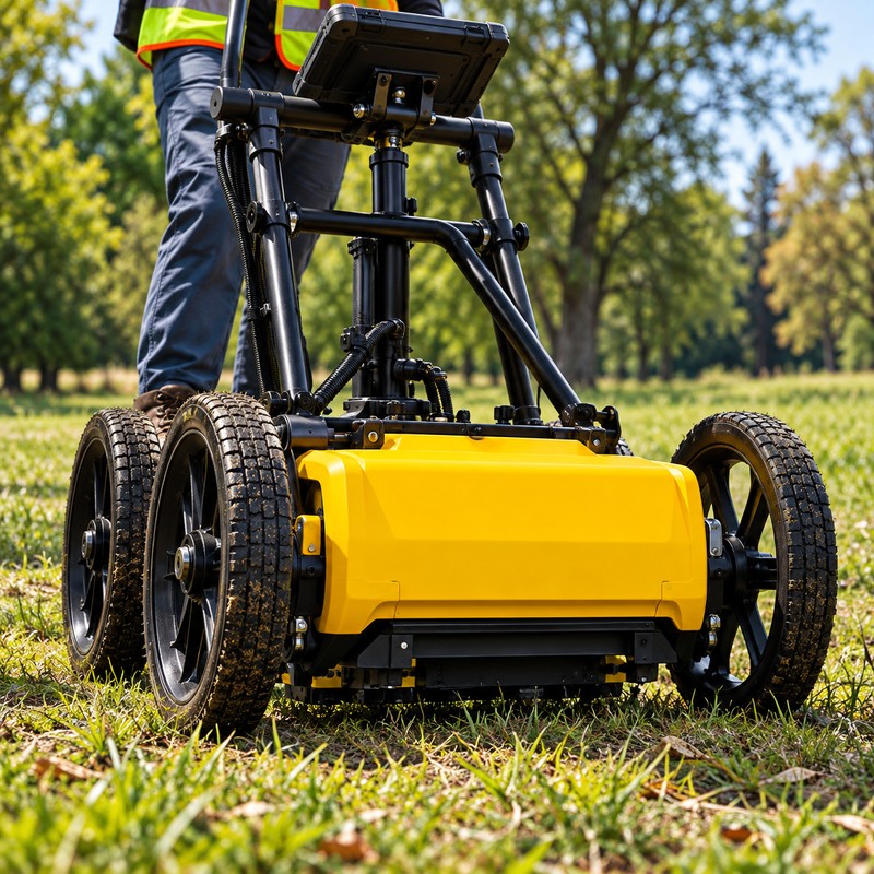
LEICA DS4000 GPR

Professional multi-frequency radar technology designed for subsurface investigation and mapping.

MULTI-FREQUENCY RADAR

Adaptable to a variety of site conditions.

GNSS POSITIONING

Spatially reference findings when required.

PROJECT-READY DELIVERABLES

Integrate findings with CAD, GIS, exhibits, and other project data.

Contact Us

Show Us Your Project

Click or drag a file to this area to upload.
Enter an address, locate the property, then draw the work area.