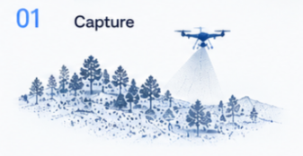
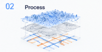
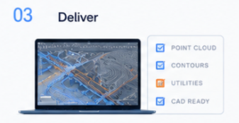

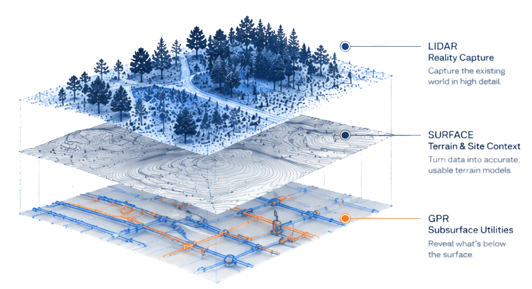
From Fort Smith and the River Valley to Northwest Arkansas and beyond, we provide LiDAR scanning, utility locating, and Ground Penetrating Radar services for commercial developments, municipal projects, industrial facilities, transportation infrastructure, and private property investigations. Our Arkansas team helps clients gain accurate site intelligence before construction, excavation, and design work begins.
Arkansas
We support contractors, engineers, architects, municipalities, and property owners throughout Oklahoma with advanced geospatial and subsurface investigation services. Whether locating underground utilities, documenting existing structures with LiDAR, or performing GPR investigations, we deliver reliable data that helps projects move forward safely and efficiently.
Oklahoma