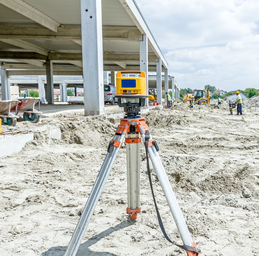
ProVision Spatial provides advanced geospatial and subsurface investigation services designed to help clients better understand existing site conditions before construction, excavation, renovation, and development projects begin. Through the use of industry-leading LiDAR scanning, Ground Penetrating Radar (GPR), and utility locating technology, we deliver accurate, actionable data that supports planning, design, engineering, and construction workflows.
Whether identifying underground utilities, documenting existing structures, capturing high-accuracy point cloud data, or investigating hidden subsurface conditions, our services help reduce uncertainty and improve decision-making throughout every stage of a project. We work with contractors, engineers, architects, municipalities, surveyors, facility managers, and property owners across Arkansas, Oklahoma, and Missouri.
Every project presents unique challenges, which is why our team focuses on providing reliable information tailored to the specific needs of each site. By combining advanced technology with practical field experience, ProVision Spatial helps clients move forward with greater confidence while minimizing risk, delays, and costly surprises.